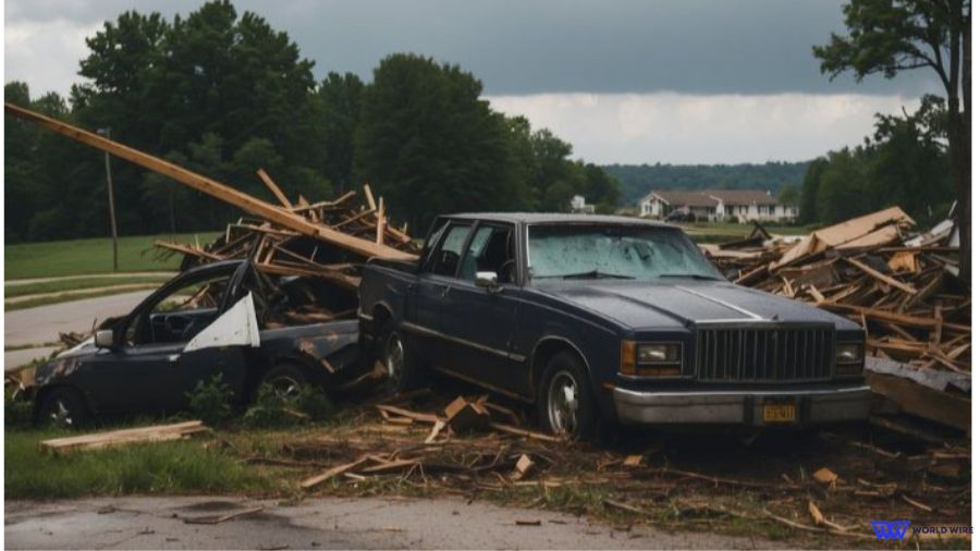
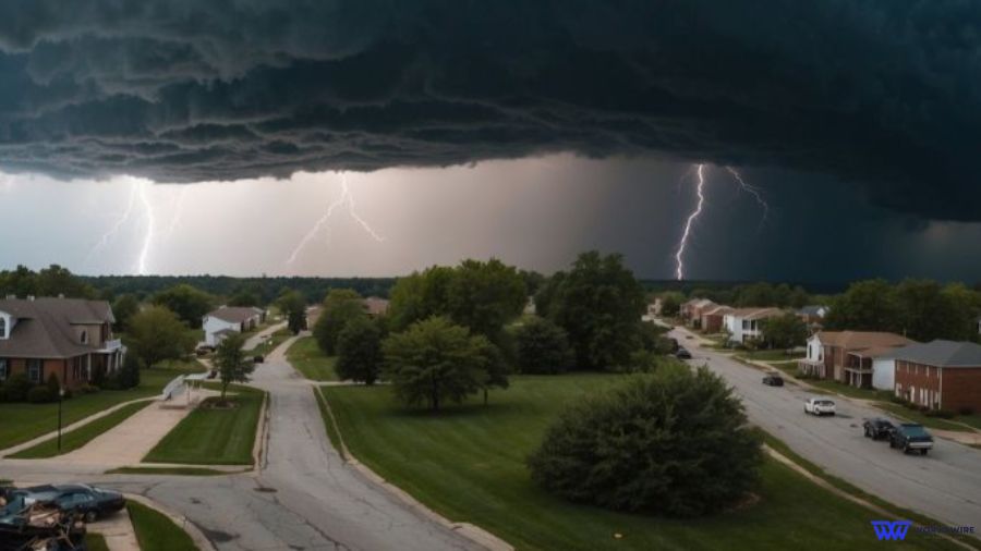
As severe weather ravaged the Ohio Valley region, the impact was not confined to Ohio, Kentucky, and Tennessee alone.
The storms on Tuesday stretched across multiple states, from the Gulf Coast to the Great Lakes, unleashing a trail of destruction in their wake.
Emergency crews were dispatched across these regions, tirelessly working to mitigate the aftermath—clearing downed power lines, uprooted trees, and scattered debris that obstructed roads and threatened communities.
During this chaos, a tornado watch was declared for central Kentucky and Tennessee, including major cities like Nashville, its environs, Cincinnati, Columbus, Dayton, Lexington, and Louisville, increasing concerns for safety and preparedness.
“A threat for strong tornadoes may focus this evening into tonight across parts of Alabama and Georgia,” according to the storm prediction center.
The situation took a dramatic turn when a confirmed tornado tore through Conyers, Georgia, just east of Atlanta, before midnight, leaving a visible scar on the landscape and a distressed community.
Adding to the volatile weather conditions, western Kentucky, southern Illinois, southwestern Indiana, and southeastern Missouri were placed under a separate tornado watch until 6 p.m. CDT on Tuesday, signaling the widespread nature of the storm system.
Middle and eastern Tennessee remained under a tornado watch until 2 a.m. EDT as residents braced for the unpredictable.
The small community of Sunbright in Morgan County, Tennessee, reported an unconfirmed tornado, adding to the growing list of areas affected by the turbulent weather.
The storms’ ferocity was further highlighted by the staggering number of homes and businesses sinking into darkness—around 40,000.
This occurred after lightning struck a critical electric substation, disrupting power supply and compounding the challenges faced by emergency response teams.
In Charleston, West Virginia, the aftermath painted a harsh picture with roadways littered with bricks, stopping traffic, and in some counties, trees strewn across roads, lawns, and cars, disrupting daily life and mobility.
In response, Governor Jim Justice declared a state of emergency for Fayette, Kanawha, Lincoln, and Nicholas counties, mobilizing resources and support to address the urgent needs of affected communities and urged people to “exercise extreme caution.”
Images and video footage began to surface, revealing the extent of the storm damage.
Uprooted trees in Kentucky by midday on Tuesday and structural damage in Nicholasville delivered testimony to the storms’ might, with authorities investigating “a significant weather event” that impacted an industrial area.
No reported injuries were a small solace amidst the destruction.

Charleston, West Virginia, experienced its share of turmoil, with footage capturing the ferocity of the winds that ravaged the area. Radar indications of a tornado in Charleston on Tuesday morning added scientific confirmation to the visible destruction.
The storms’ reach extended beyond the Ohio Valley, with Tulsa, Oklahoma, feeling the impact.
A 46-year-old woman in Tulsa was swept away by flooding on Monday night, and emergency crews engaged in a desperate search, a stark reminder of the human toll these natural events can exact.
Andy Little, the Tulsa Fire Department’s public information officer, conveyed the ongoing efforts to CBS News.
Looking ahead, meteorologists warned of a continuing threat, with severe storms forecasted for Wednesday along a vast stretch of the East Coast and inland areas.
These storms, potentially bringing hail, damaging winds, and one or two tornadoes, put additional regions on high alert.
Winds reach “hurricane-force” status on the Saffir-Simpson Scale once they consistently hit speeds of 74 miles per hour or more.
Advancements in meteorological technology, including enhanced satellite images and improved forecasting models, were crucial for the early detection of storm patterns.
They enabled timely tornado watches and warnings and arguably reduced potential harm to affected communities.
Eastern Massachusetts braced for rain and sleet during the day on Wednesday, with sleet and possible snow accumulation by nighttime. Higher elevations in central and western Massachusetts will see wet snow.
Pittsburgh remains under a flood watch through Wednesday morning, and electric companies are preparing for high winds, hail, and heavy winds that could damage electrical equipment and result in power outages.
Maryland was ready for severe thunderstorms through Wednesday capable of producing intense lightning, heavy downpours, and hail.
Communities across the affected regions prepared for what might come next, with a “slight risk” of strong and severe storms extending from the Chesapeake Bay down to Florida.
Recovery efforts are underway, with FEMA and local emergency management agencies coordinating to provide assistance.
This includes disaster relief funding, damage assessment teams, and the establishment of shelters in locations such as churches and community centers to support those in need.
In a statement obtained by the AP, Kentucky Governor Andy Beshear reflected on the devastation: “We have reports of substantial damage to a number of structures — and thankfully, as of right now, we are not aware of any fatalities.”
This sentiment underscored the widespread concern and the ongoing efforts to recover and rebuild in the aftermath of the severe weather that swept across the Ohio Valley and beyond.


Add Comment